Introducing RotorVector, the ultimate helicopter navigation app designed for pilots. Access real-time GPS data, terrain awareness, and live weather all in one cockpit-friendly interface.
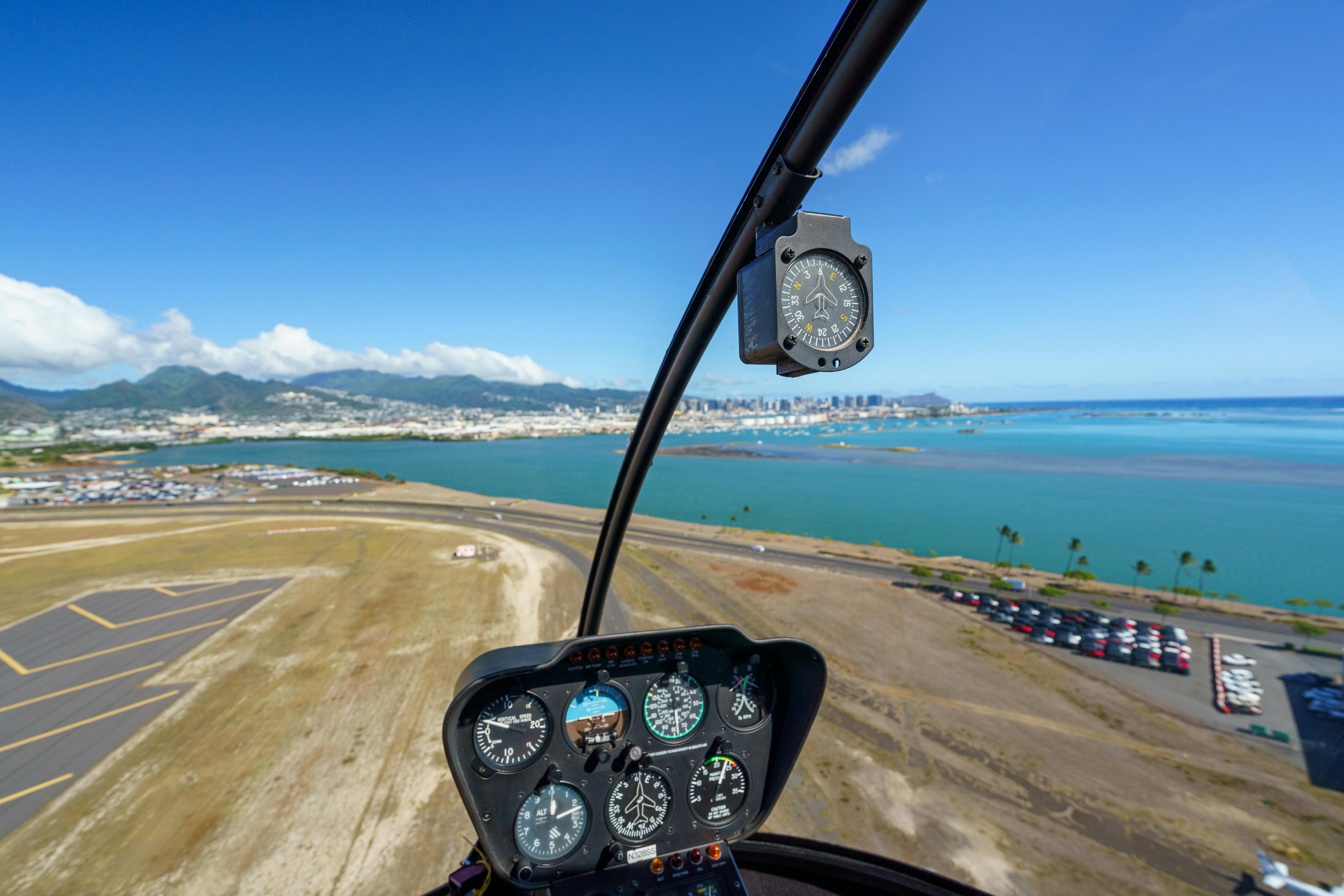
Your Trusted Flight Companion
At RotorVector, we are dedicated to enhancing helicopter operations by providing pilots with essential navigation and situational-awareness tools. Our app is designed with the unique needs of helicopter pilots in mind, ensuring that vital flight information is always at your fingertips. Join us in revolutionizing the way you navigate in the skies.
Explore the core functionalities of RotorVector that make it an indispensable tool for helicopter pilots.
Live GPS position tracking with real-time flight information displayed clearly.
Easily toggle aviation features like airspace boundaries and nearby airports.
Stay informed with real-time NOTAM updates for nearby airfields.
Access live weather data relevant to your current location.
Receive warnings about nearby terrain and obstacles.
Experience the Future of Helicopter Flight Planning
RotorVector is available for both iOS and Android devices. Make sure your device supports GPS functionality for the best experience.
No, RotorVector is intended as a supplemental navigation aid and should not replace certified flight instruments or official navigation equipment.
Your app will automatically display weather data relevant to your current location and flight area, provided you have an internet connection.
Yes! RotorVector includes flight-planning tools to assist with route creation and waypoint management.
The Flight Simulation Mode allows users to familiarize themselves with the app’s functions and displays without being airborne.
Aviation data is sourced from trusted providers and updated regularly. Ensure your app is connected to the internet for the latest information.